ClayCo No. 1
|
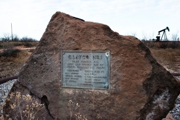
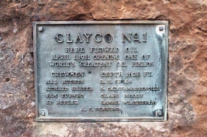
ClayCo No. 1
Here flowed oil April 1, 1911 opening one of world's largest oil fields. Crewmen Depth 1628 FT. Hal Hughes R. T. Craig Richard Harper S. G. (Dad) Massengill Sam Turnbo Clark Moody Ed Beeler Lamar Weathersby A. F. Dennison |

|
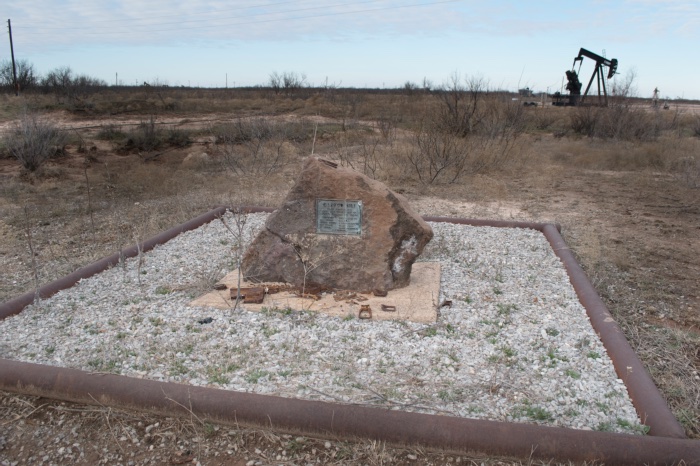
To find the location of the marker, from Electra, go north on SH25 from HWY287 less than a 1/4-mile. Past the cemeteries on both sides of the road, the gate is next to Precinct #4 Annex. A Centennial Celebration sign hangs next to the gate. Go through the gate to the west, staying to the left of the abandoned power house, then turn right on the second road. The marker faces C. M. Putnam Lease Well #57, about a 1/4-mile behind the Precinct #4 Annex.
GPS coordinates to the gate: 34-degrees 05' 56.8" -98-degrees 54' 23.3". GPS coordinates to the marker: 34-degrees 02' 56.0" 98-degrees 55' 28.7". |