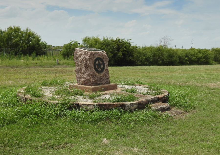
Wichita County
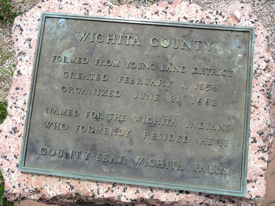
WICHITA COUNTY
FORMED FROM YOUNG LAND DISTRICT
CREATED FEBRUARY 1, 1858
ORGANIZED JUNE 21, 1882
NAMED FOR THE WICHITA INDIANS
WHO FORMERLY RESIDED HERE
COUNTY SEAT, WICHITA FALLS
The marker is located on the corner of West Rathgeber Road and Highway 473 (Old Jacksboro Highway), Wichita Falls, Texas 76301.
GPS coordinates: 33-degrees 50' 41.2" N 98-degrees 29' 31.7" W
For more information about Wichita County at the Handbook of Texas Online, click the button below.
GPS coordinates: 33-degrees 50' 41.2" N 98-degrees 29' 31.7" W
For more information about Wichita County at the Handbook of Texas Online, click the button below.